

Connecting MEACAM Early Warning Information to Anticipatory Action and Disaster Risk Reduction Interventions
MEACAM Research Report #3
October 2025
Summary
Connecting MEACAM Early Warning Information to Anticipatory Action and Disaster Risk Reduction Interventions explores how MEACAM’s agricultural drought and flood forecasts can be used to trigger early action interventions once integrated into an Early Action Plan (EAP) or national and regional early warning systems.
It begins with a comprehensive overview of early action and disaster risk reduction (DRR) interventions that have been implemented to mitigate the impacts of drought and flooding, and also reviews the trigger mechanisms and aid interventions specified in existing EAPs across the Middle East and globally.
The paper then proposes hypothetical early action triggers for agricultural drought and flooding—based on MEACAM’s predictive outputs—to illustrate the model’s current utility and to encourage further collaboration on refining trigger mechanisms and harmonizing data sources among aid actors in all three contexts.
Ultimately, the report provides a foundation for embedding MEACAM within humanitarian and DRR initiatives aimed at mitigating the impacts of agricultural drought and flooding in Iraq, Syria, and Yemen.
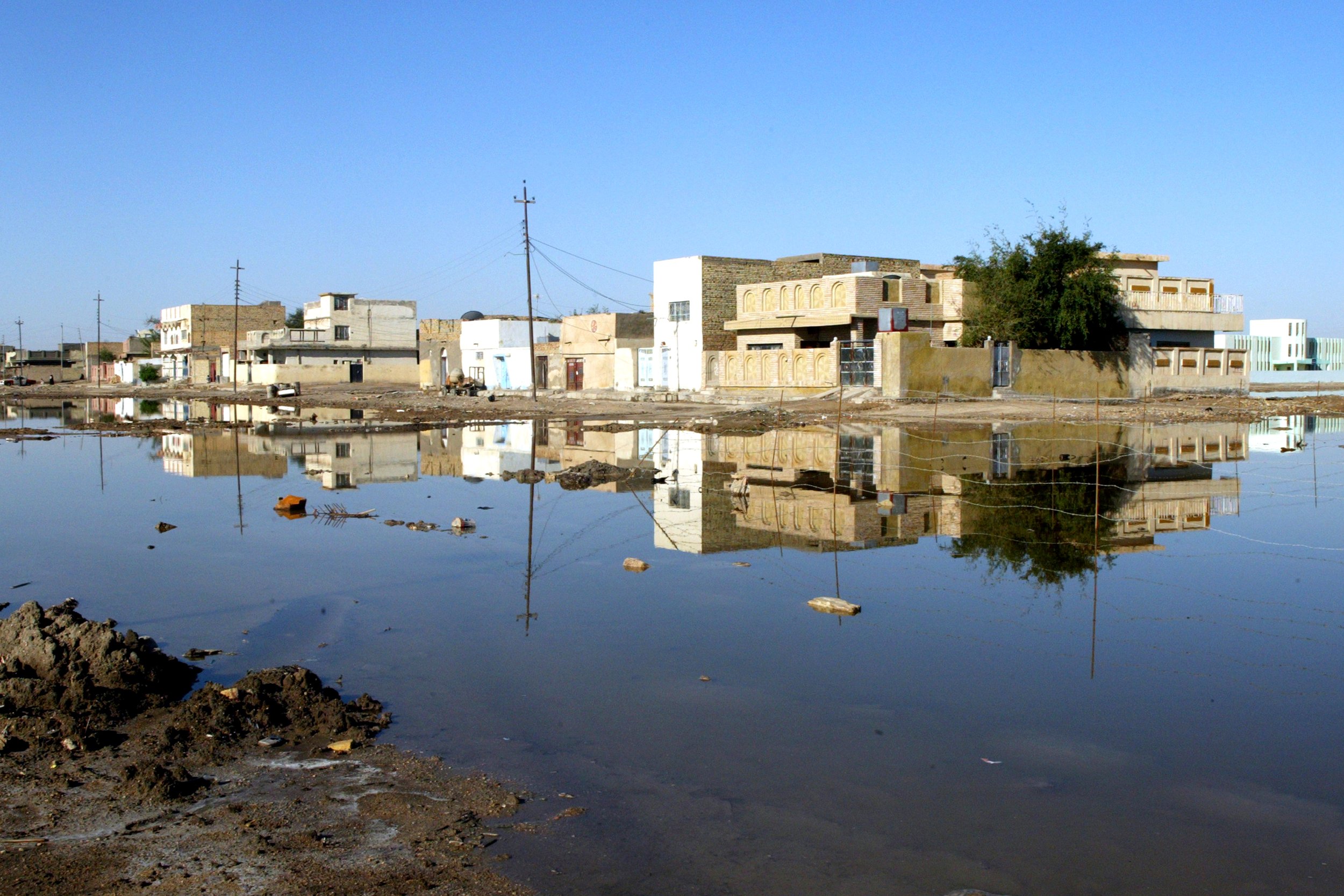
The Syria-specific section provides an overview of the geographic distribution of agricultural drought and flooding, available early warning information, and past and ongoing early warning and disaster risk reduction (DRR) efforts in the country. The hypothetical early action triggers proposed in the paper are tailored to the Syrian context and are intended as a foundation for collaboratively refining aligned triggers that can promote early action by aid actors and relevant ministries within the new government.
MEACAM Update
The flood prediction module on the MEACAM platform has been reconfigured, featuring heavy rainfall prediction as the primary early warning trigger, aligning more closely with existing flood Early Action Plans (EAPs) in the Middle East and globally.
The revised flood prediction module leverages rainfall forecasts from the European Centre for Medium-Range Weather Forecasts (ECMWF). Users are now required to define their own 24- and 72-hour rainfall triggers, and the areas where these thresholds are met are visualized on a country-level map. The existing satellite-derived (Sentinel-1) predictions are displayed in a map of the selected area. Most flood module updates have been completed, and several minor updates are forthcoming.