

Floods in Focus
MEACAM Research Report
April 2025
Summary
Caused by environmental and human-induced factors, floods pose a complex risk, particularly at the local level. Already one of the most common environmental hazards globally, flooding has increased due to extreme weather patterns brought on by climate change, leading to the destabilization of economies due to infrastructure damage, social disruption, deaths, injuries, and disease. Urbanization is a key driver of flood risk, especially in low and middle-income countries. Seasonal floods hit affected areas repeatedly, worsening vulnerabilities in impoverished communities.
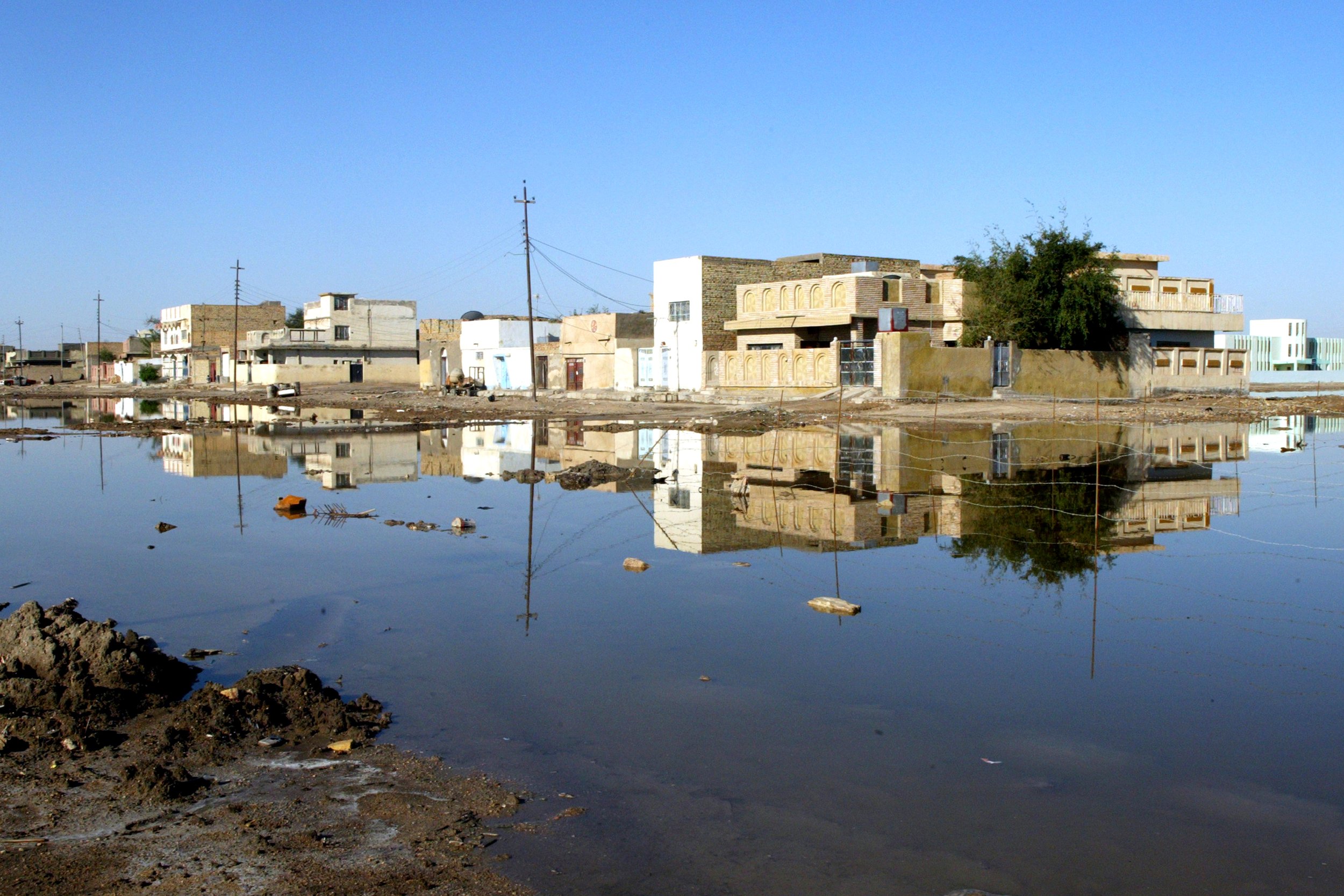
Pluvial (river) and fluvial (flash and surface water) floods are the two most common types of floods in Iraq, Syria, and Yemen, each of which has its own risk factors and mitigation measures, which are outlined in Table 1. Flash floods begin within hours after a trigger event, such as torrential rains or the sudden release of water from the failure of a dam or levee. These floods, which are the deadliest of all natural disasters, come with little warning. Forecasting flash floods is highly challenging, requiring systems that both detect and predict rainfall. Mitigation efforts focus on reducing exposure to flooding, including implementing and enforcing land use and building construction policies, issuing public warnings, and utilizing emergency systems as well as maintaining existing infrastructure and developing new infrastructure to control the flow of surface water.
Fluvial floods occur when water flowing in a river exceeds the capacity of a stream channel, leading to run-off over natural banks and artificial embankments into flood plains. These floods normally follow periods of extended precipitation and snowmelt or the failure of flood control structures. Such flooding can be mitigated with integrated flood management that maximizes the natural and beneficial impact that flood water has on enriching floodplains while minimizing loss of life and property. Rapid and unplanned urbanization elevates the hazards of river floods by replacing natural permeable soil with artificial impermeable surfaces, blocking natural water flows with construction, and obstructing channels with waste and debris, among other factors. While the frequency and magnitude of riverine floods has not increased worldwide, areas near rivers have become more urbanized, leading to higher death rates and property destruction from these recurring events.
Hazard predictions for riverine floods use a combination of spatial data, including land-use and terrain models, as well as meteorological and hydrological information. Hydrologists describe floods in their forecasts by recurrence intervals. For example, a “100-year flood” means a flood is of such a magnitude it has a 1% chance of occurring any year but could still happen two years in a row (albeit statistically unlikely).
MEACAM: A potential solution
The MEACAM platform provides geographically disaggregated flood predictions, including locations of flooding events and the number of people affected by them. The platform predicts floods at different time windows, which allows users to anticipate rapidly developing flash floods as well as slower-developing surface water and river flooding. These predictions are presented on an interface designed to be easily accessible to the public, aid actors, and government agencies, which serves as a hub for additional vulnerability layers and flood predictions produced by other actors.